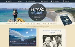
On our travel blog novo-monde, we quickly wanted to add custom google maps to geolocate and display our articles. The idea was that our readers could quickly navigate on a map and find all our articles by position and categories..
At that time, the problem was that we didn’t find an easy solution to insert a map that was customizable and with the necessary functionalities. We decided to develop our own solution but after it’s integration on our website, we started to receive many e-mails from readers or bloggers asking how we implemented such a map.
It’s at that moment the the idea of developing a wordpress plugin came. I always wanted to learn how to develop a quality wordpress plugin… It was simply the right occasion to start while answering all the questions at the same time.
The plugin main goals
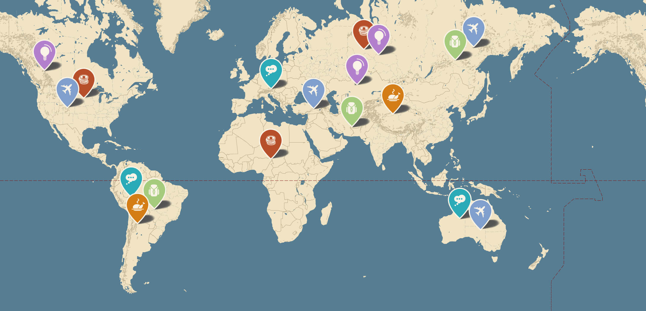
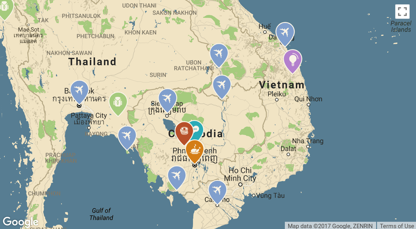
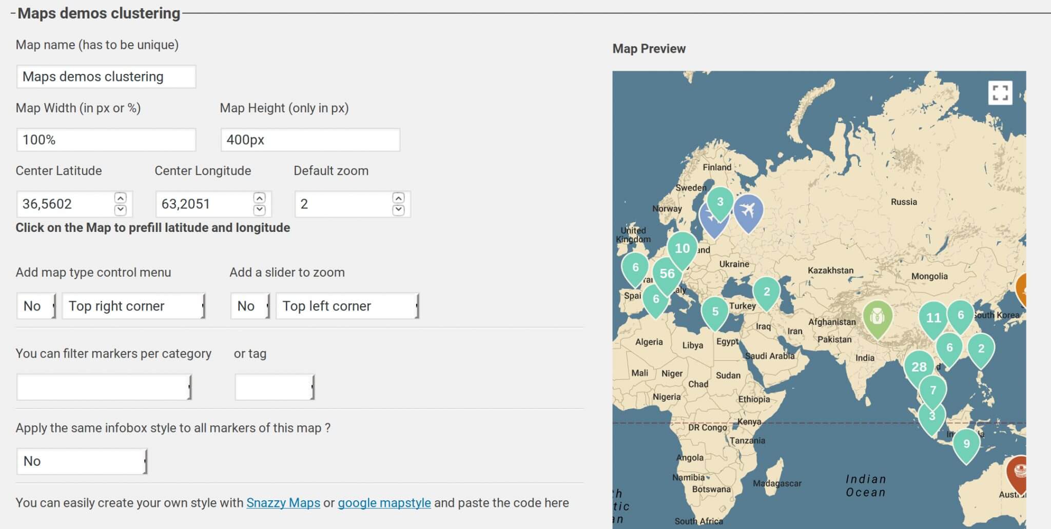
- The design of the maps had to be completely customizable to easily integrate maps in any kind of website.
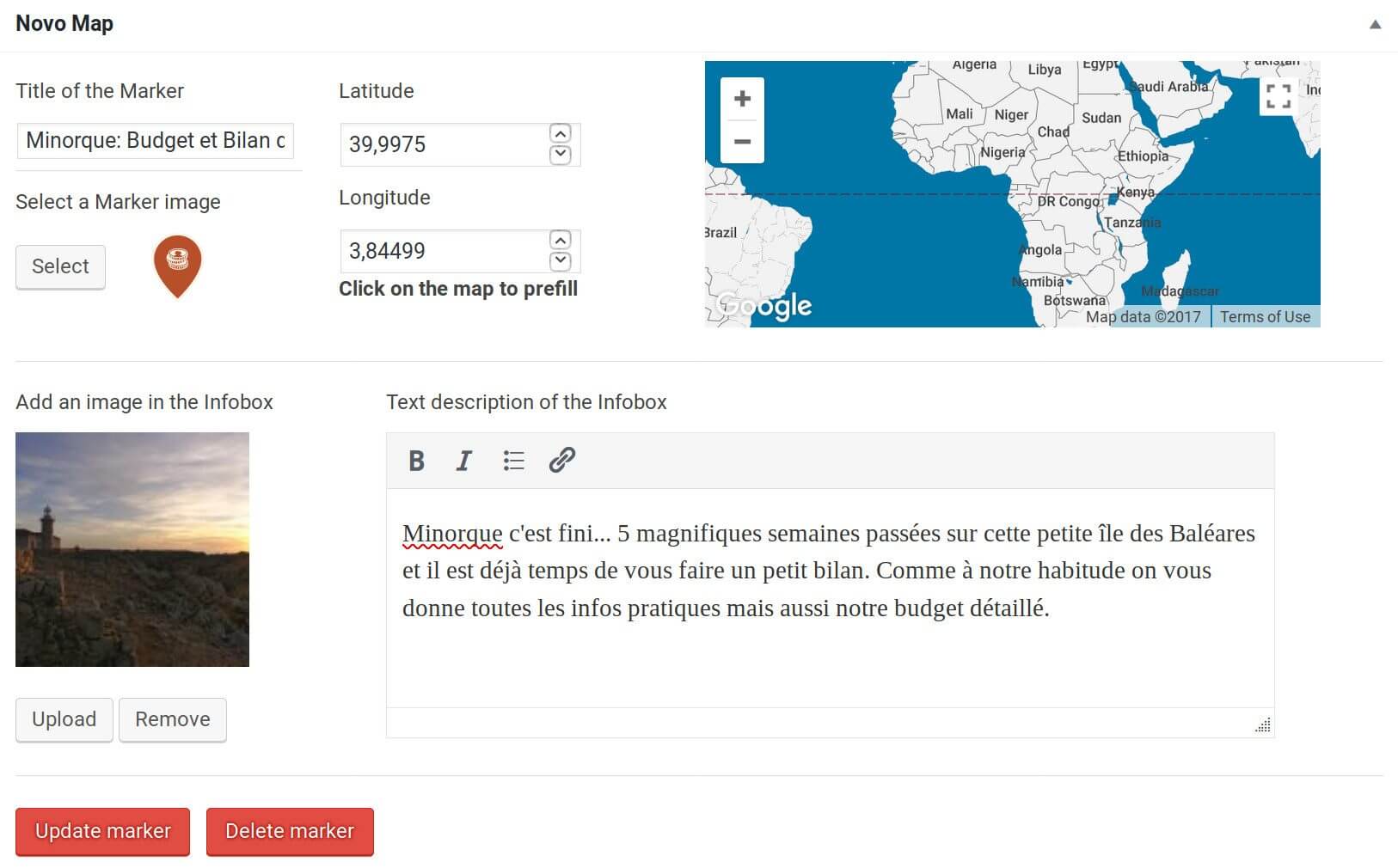
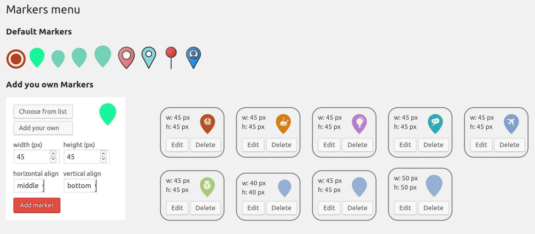
- Use any kind of image as a marker.
- Filter articles by categories or tags.
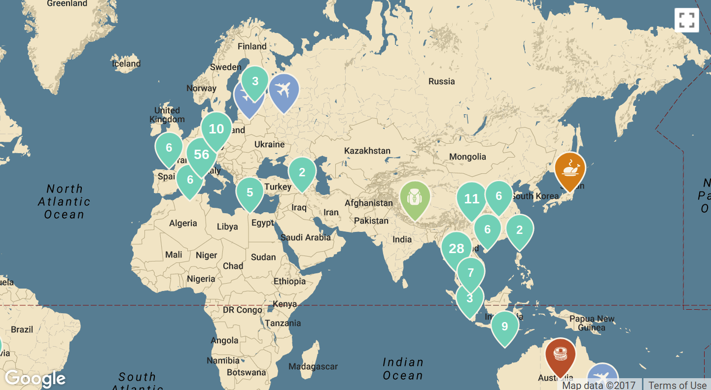
- Possibility to cluster markers that are close to each other.
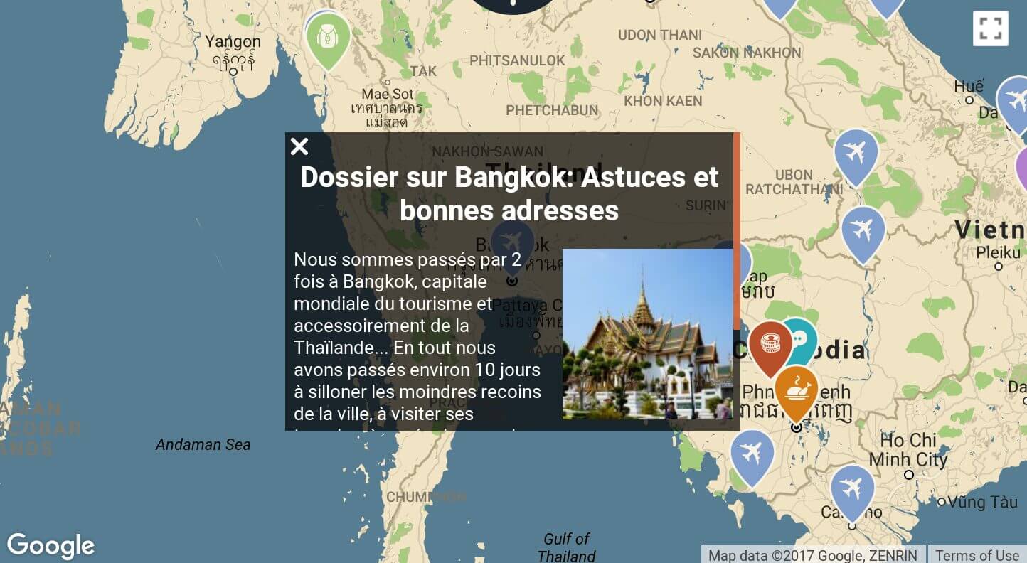
- The content of Infoboxes (boxes appearing after clickin on a merker) should also be customizable.
The result
After a first trial version, I started to develop a proper version of the plugin in october 2017. And after a good month of development, the 1st version of the plugin was available on wordpress.org. The plugin was developed following standards like the “WordPress plugin boilerplate” and OOP (object oriented programming) to make it easy for other developers to add new functionalities if some want to contribute.
You can check the main plugin functionalities on this page or simply by checking the category pages of our blog (for example our pages Hiking ou Switzerland). To download the plugin for free, you can just go it’s WordPress page.
Future developments
I might develop a premium version of the plugin with more specific functionalities as :
- a bigger choice of quality markers directly integrated in the plugin.
- Choose between different styles of infoboxes with more control.
- the possibility to add lines between markers to create itineraries.
- Add several markers per article and enable to create article specific maps (for example with the places you visited in an article).
- …